AERIAL TRIANGULATION
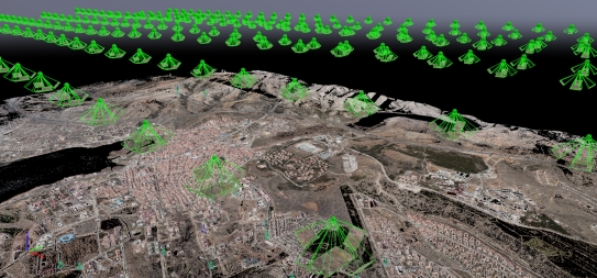
Aerial Triangulation after standard photogrammetric flight and/or oblique photogrammetric flight.
DIGITAL MAP
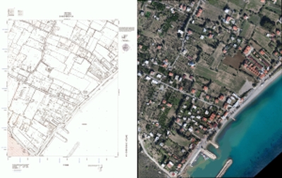
By using PowerVision aerial photos, approved maps can be produced according to the standards stipulated by the Large Scale Mapping Regulation.
TRUE ORTHOPHOTO
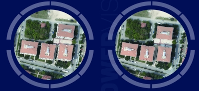
Due to the inability of the aerial photographs of each of the buildings on the ground to be taken in an upright position, the projections of the building on orthophotos produced are inaccurate and as a result, unseen loss areas are consisted. The DSM (Digital Surface Model) data, which is needed to eliminate this deficiency, is obtained from these aerial photographs taken with high overlap rates. Throung the this DSM data; true orthophotos of which projection of each building without loss are obtained.
OBLIQUE AERIAL IMAGE
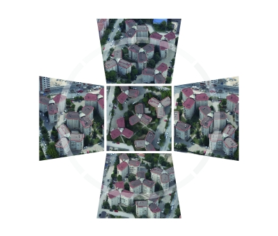
Photos (GSD of 5 cm) taken from orthogonal and tilted directions are a fast, accurate and economical data source for large scale topographic map production and similar engineering projects.
DIGITAL TERRAIN MODEL
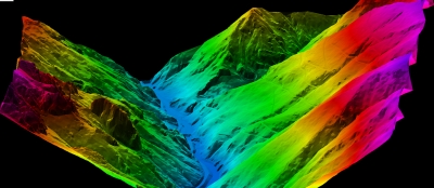
Production of the precise and high accuracy terrain model
DIGITAL SURFACE MODEL
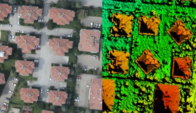
Production of the precise and high accuracy 3D City Model
POINT CLOUD
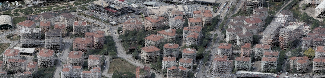
With oblique images, production of points cloud in areas such as building side surfaces that cannot be seen in photographs taken vertical and/or even in areas such as narrow streets which being seen very difficult in photos
3D MESH MODEL
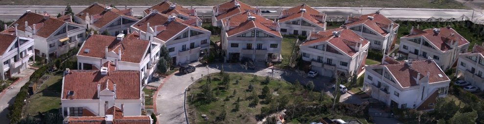
Production of point cloud even in areas such as narrow side streets and / or narrow street which are not seen in vertical photographs.
3D CITY MODEL
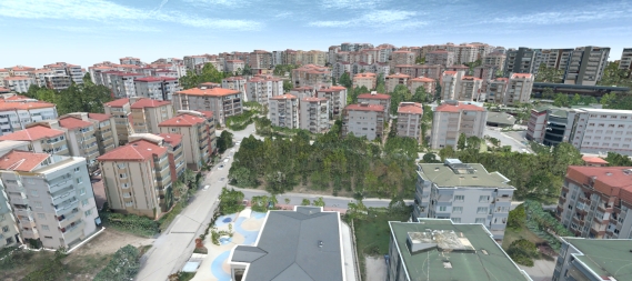
By using PowerVision photos, 3D models of buildings facade can be produced at the LOD2 (level of detail2) and LOD3 (level of detail3).

